I hope you enjoy some selected photos from my cross-country adventure.

On the last day, crossing one more state line.

Four modes of transportation converge just south of Harper's Ferry. From right to left, a CSX train line, the abandoned, algae-covered C&O canal, the canal towpath, and (through the trees) the Potomac River.

View from a C&O Canal detour - I had to walk the bike up a steep, rocky hillside... but was rewarded with a magnificent view.
The Potomac River from the C&O Canal Towpath, leaving Cumberland, MD
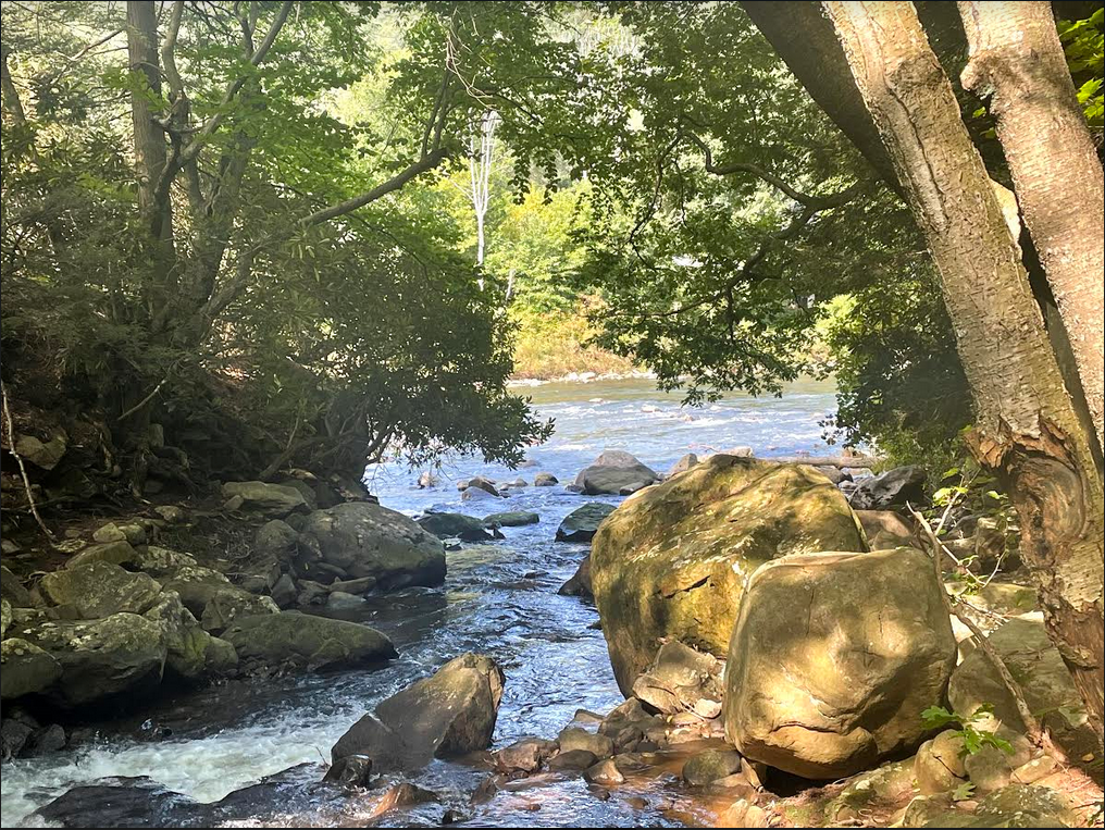
Stream joining the Casselman River near Markleton, PA

Great Allegheny Passage along the Youghiogheny River, PA.

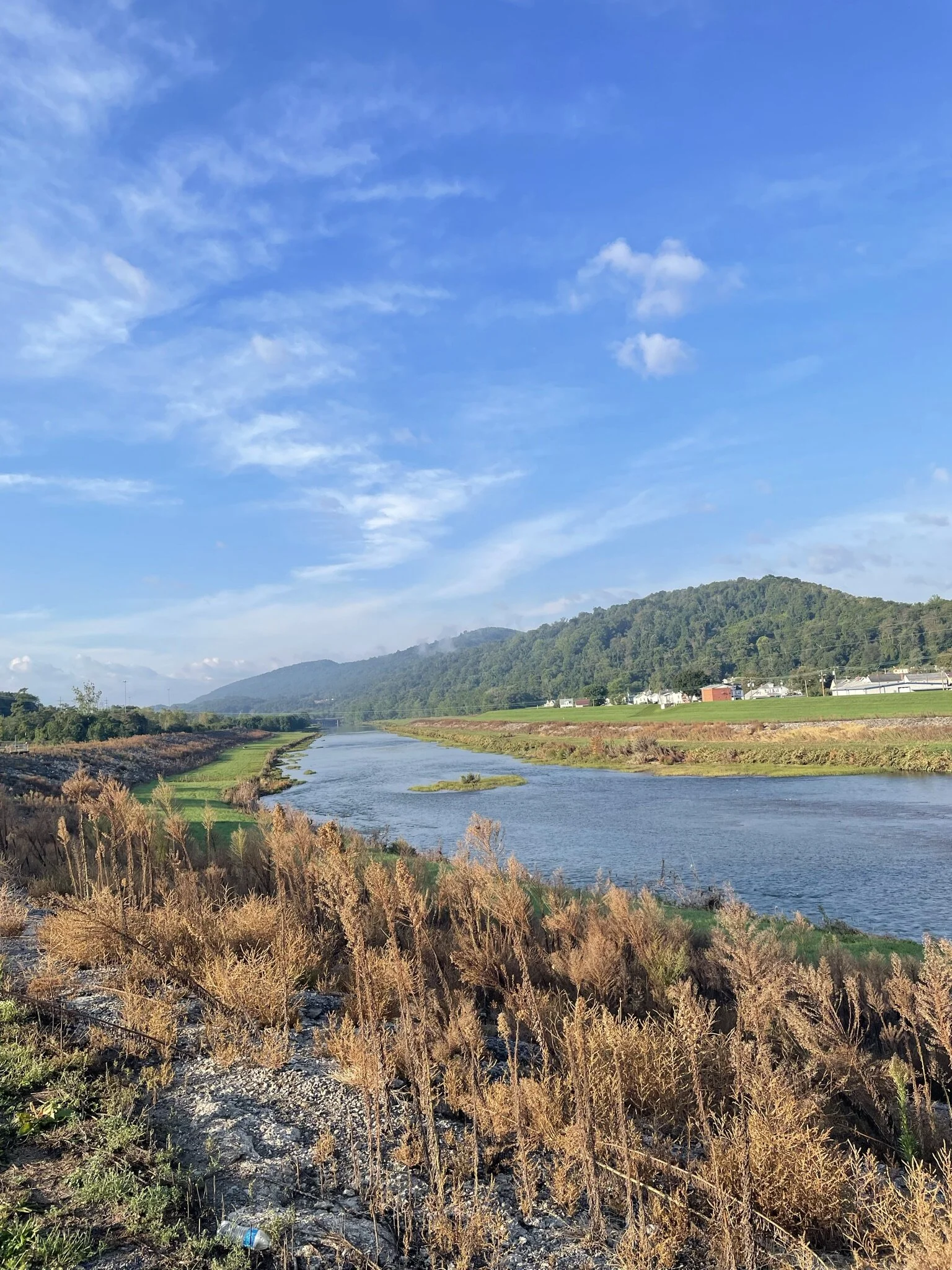
The Monongahela River, Pennsylvania

The Panhandle Trail in the western Pennsylvania highlands on a wet day
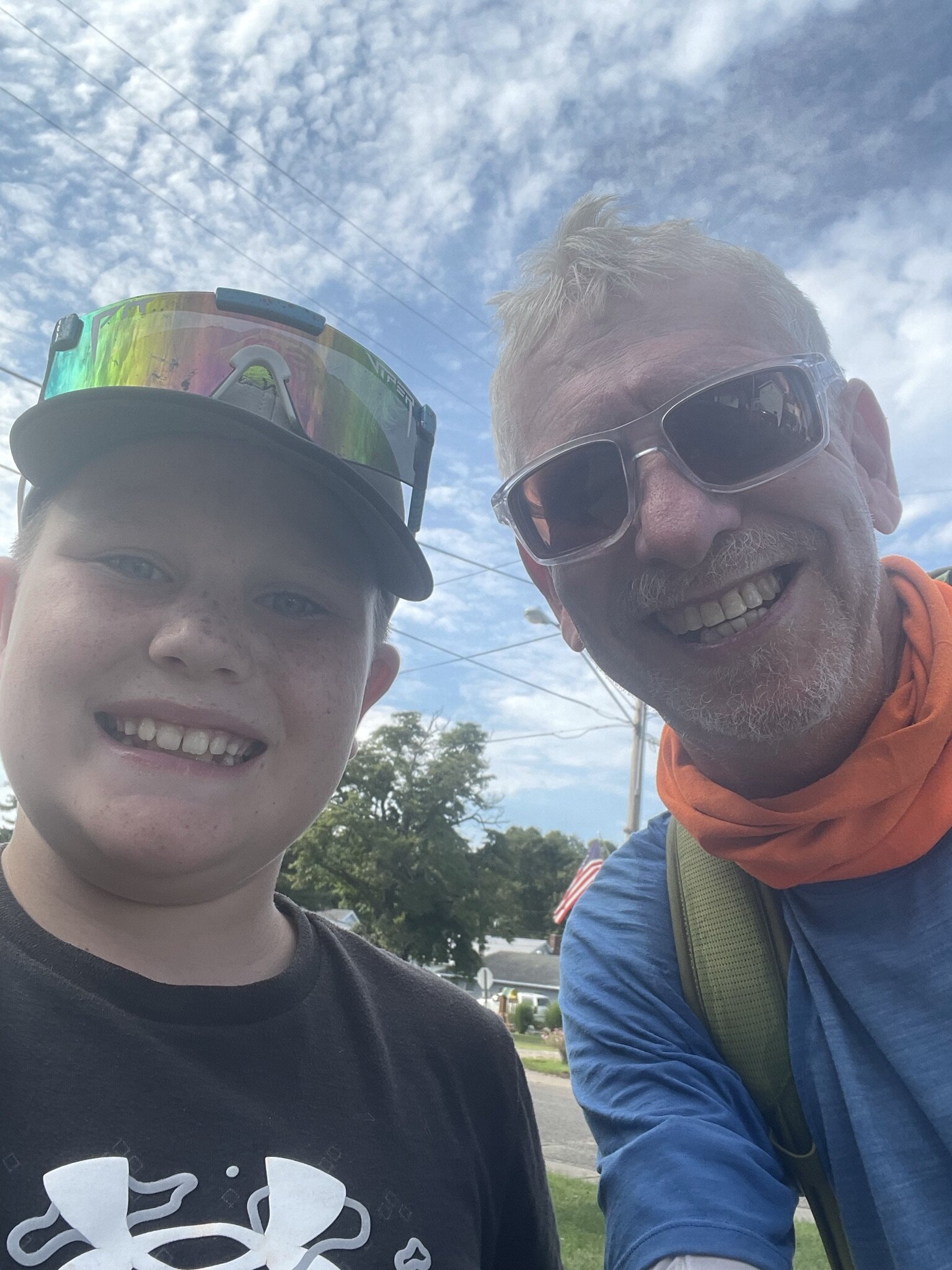
Posing with a new friend during a break in Conesville, Ohio

Leaving home after 2 rest days for the last leg of the trek

Indiana Farmers' Humor
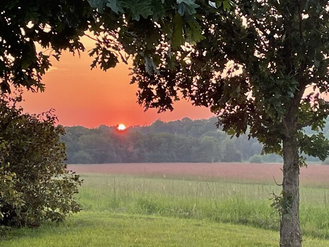
Sunset at Prophetstown State Park, near Lafayette, Indiana.
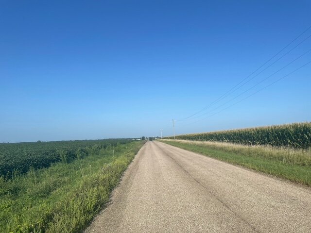
Soybeans to the left of me; corn to the right Here I am...
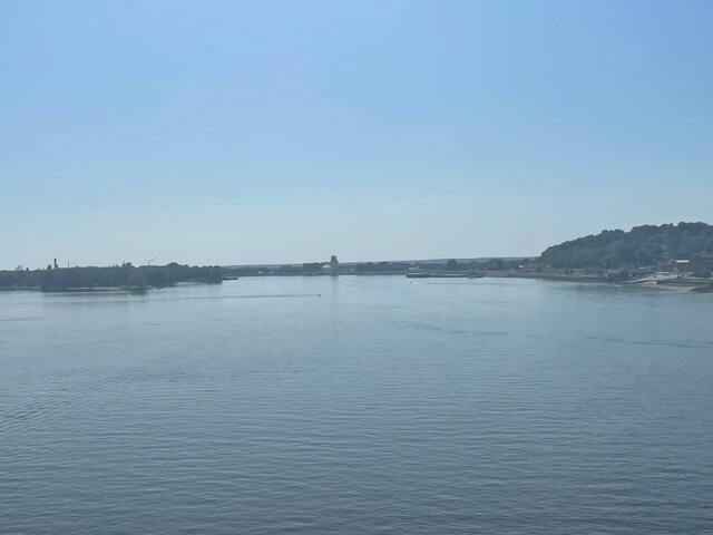
The Mississippi River near Muscatine, Iowa
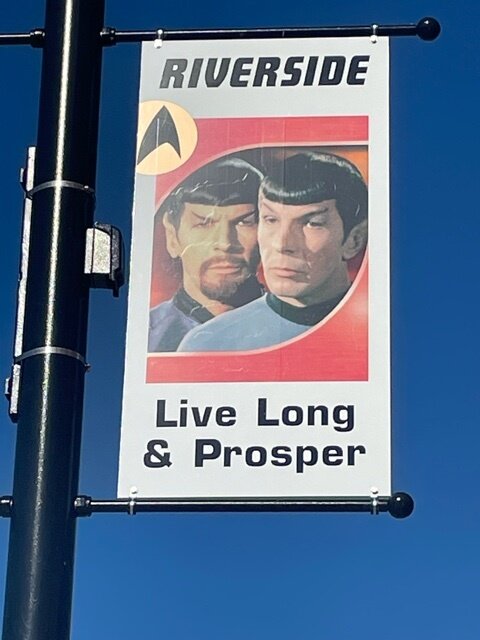
Riverside Iowa is billed as the future birthplace of Captain James T. Kirk (look it up). As such, the town has a Star Trek theme.
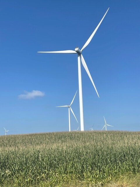
Two powerhouses of the Iowa economy: corn and wind power.

Big Creek Lake, Iowa

Raccoon River Trail, northwest of Des Moines. Look... shade!

This is how I felt fighting headwinds for 76 miles on August 14.

Sign outside a shop in Crawford, Nebraska

Sign in a coffee shop, Chadron, Nebraska

Sign in a saloon window, Johnstown, Nebraska

Cowboy Trail bridge over the Niobrara river near Valentine, Nebraska

Buttes near Fort Robinson, Nebraska

Looking towards the Nebraska National Forest under a hazy, smoky sky, courtesy of the wildfires in Montana and Canada.

Nebraska is anglicized from the Otoe and Omaha native words (Ni Bthaska) that mean "flat water," after the Platte River which flows through the state.

Country gravel road in eastern Wyoming near the North Platte river.
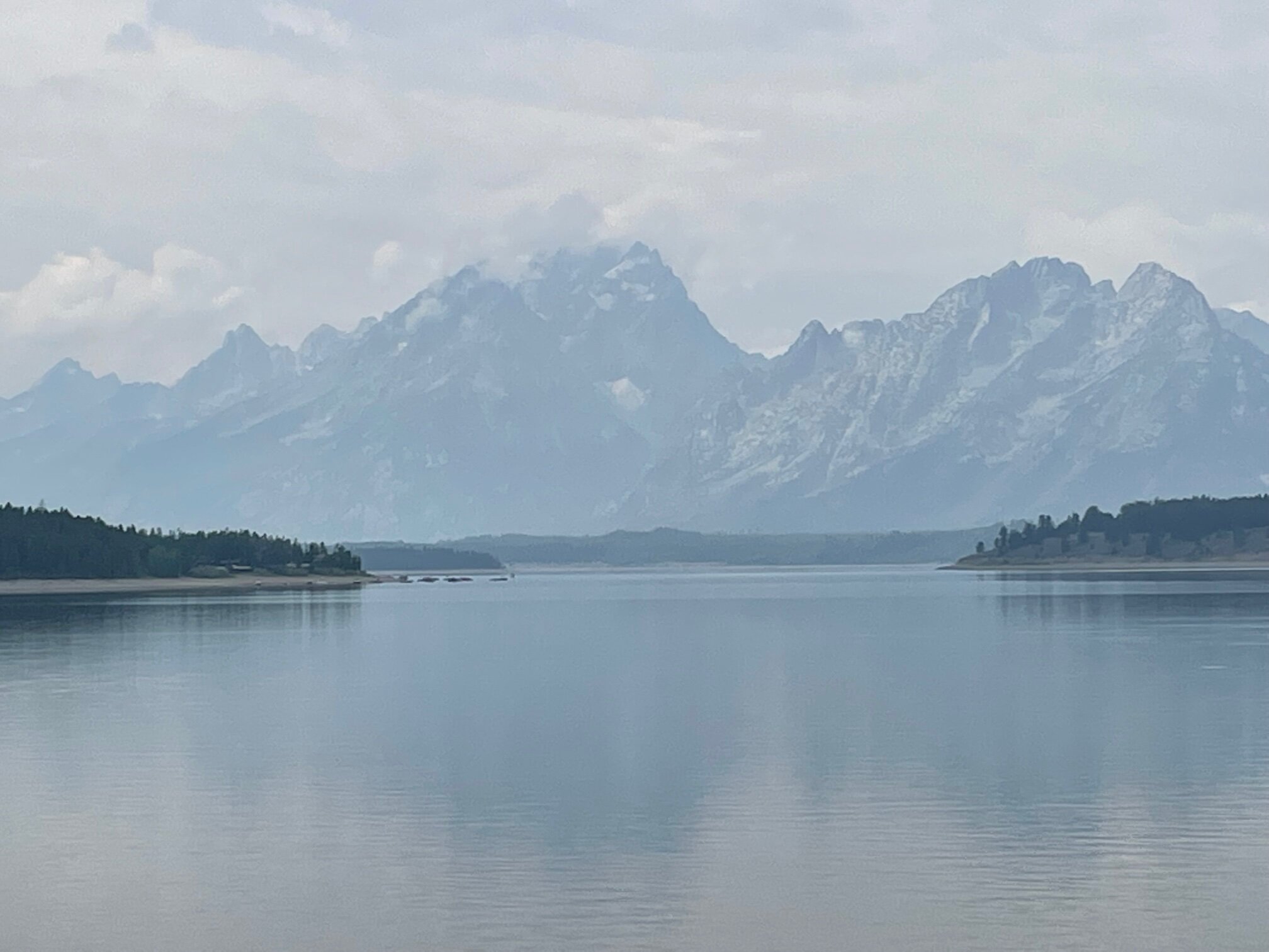
The Teton Mountains from Jackson Lake, WY
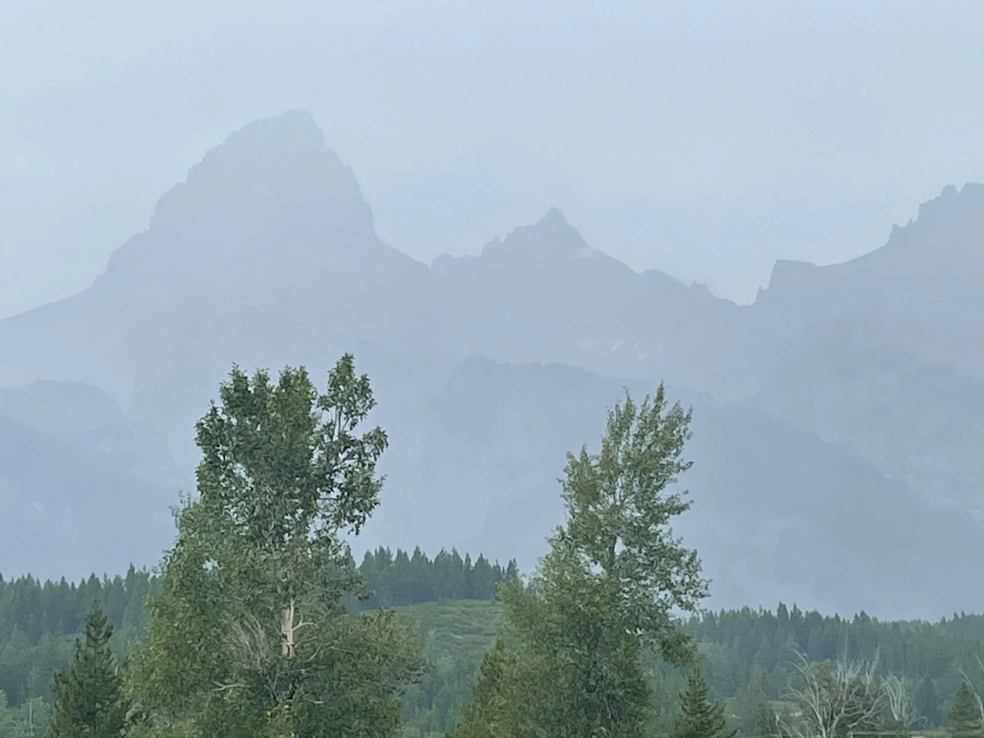
The Tetons

Lupine flowers on the ascent to Togwatee Pass

Rocky Mountain High

The Breccian Cliffs, Wyoming (eastern slopes of Togwotee Pass)

The Wind River as it flows through Dubois, WY

The Tetons from Jackson Lake

The Tetons, as seen from Teton Valley, Idaho

A 12% grade ascending the Teton Pass, Wyoming route 22.

Flowering thistles in western Montana

A volcano crater and fields of basalt rock in the Craters of the Moon National Monument, eastern Idaho

Joy. Cool tailwind right before arriving in Grangeville, ID with the setting sun.

Lake Cascade in Lake Cascade State Park, Cascade, ID

Dinner view: Overlooking the Payette River Valley, Cascade, ID
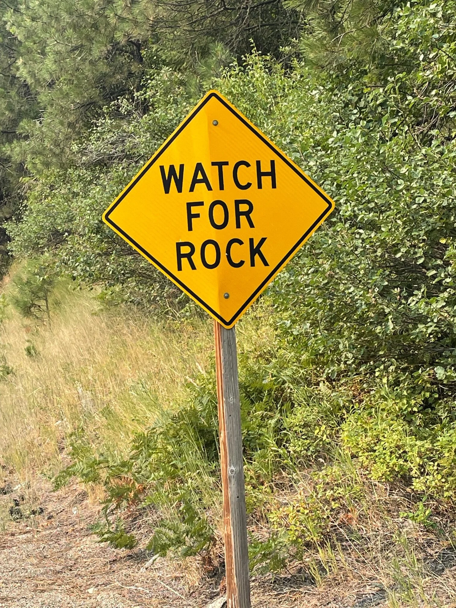
Yes, keep an eye out of Rock. But you don't have to worry about Jazz, Blues, Hip-Hop, and classical Hindustani and Karnatic music.

No uncle; not west Texas bound. But you know it was the hottest part of the day.
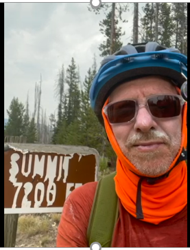
Suffering. Just after summiting Banner's pass. The sunscreen on the moustache makes for a nice effect.

On a break in the valley east of Banner Pass.
Just east of the Columbia river Gorge in Washington
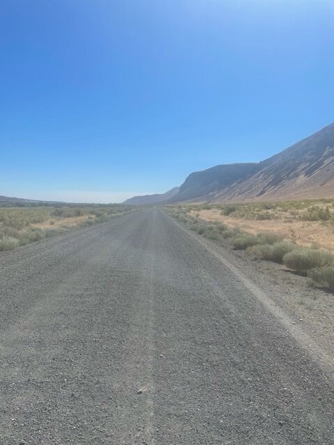
Gravel gravel everywhere
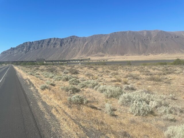
Eastern Washington dry lands

View from trail ascending Snoqualmie Pass

The Polouse to Cascade State Park trail leading from Snoqualmie Pass
Lake Keechelus near Snoqualmie Pass, Cascade Mountains, Washington

Lake Crescent

Olympic Discovery Trail

This is a welcome?

Up here, even Bigfoot waves the flag
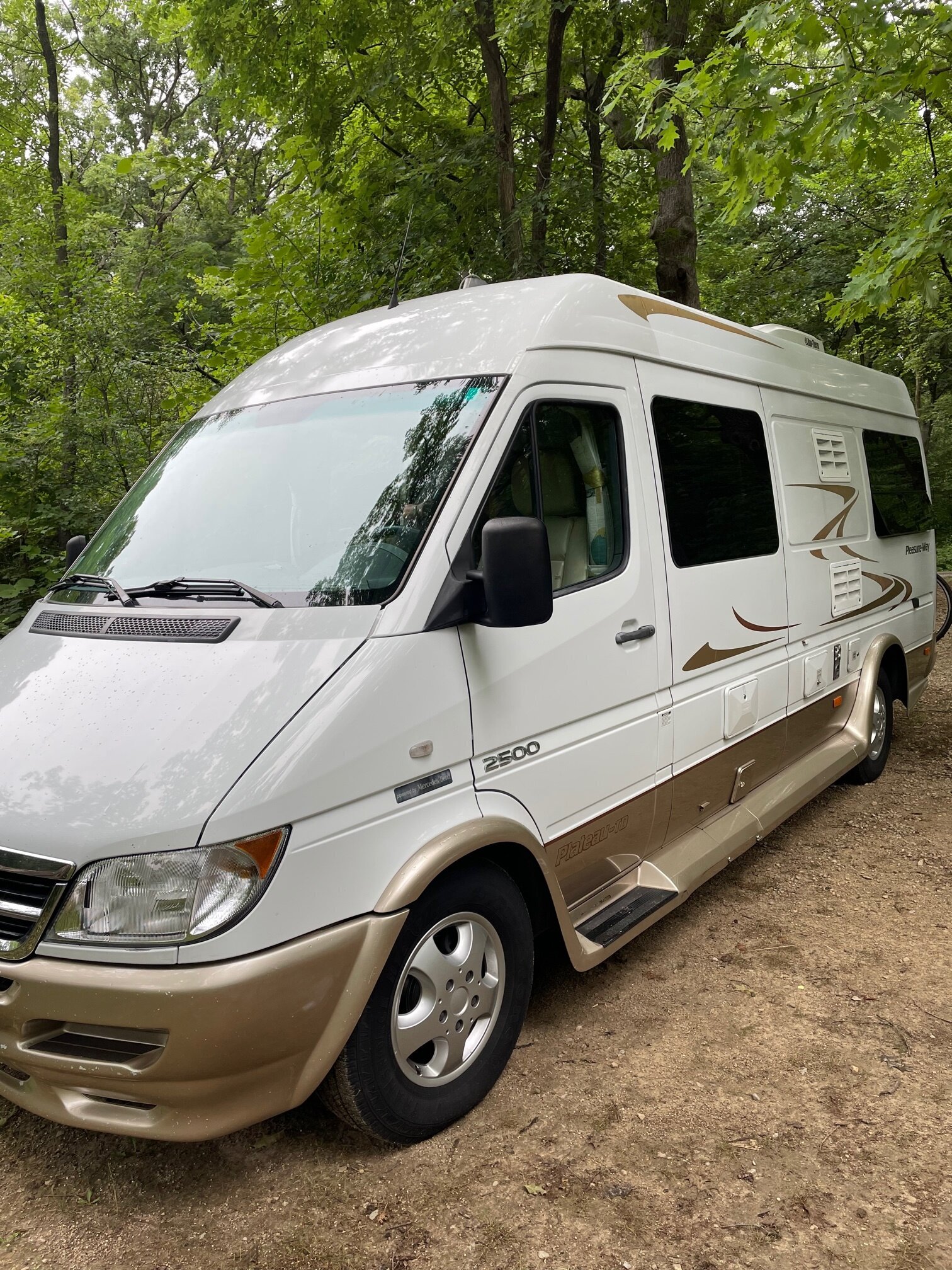
8000 lbs, 8 feet wide, and 10' tall
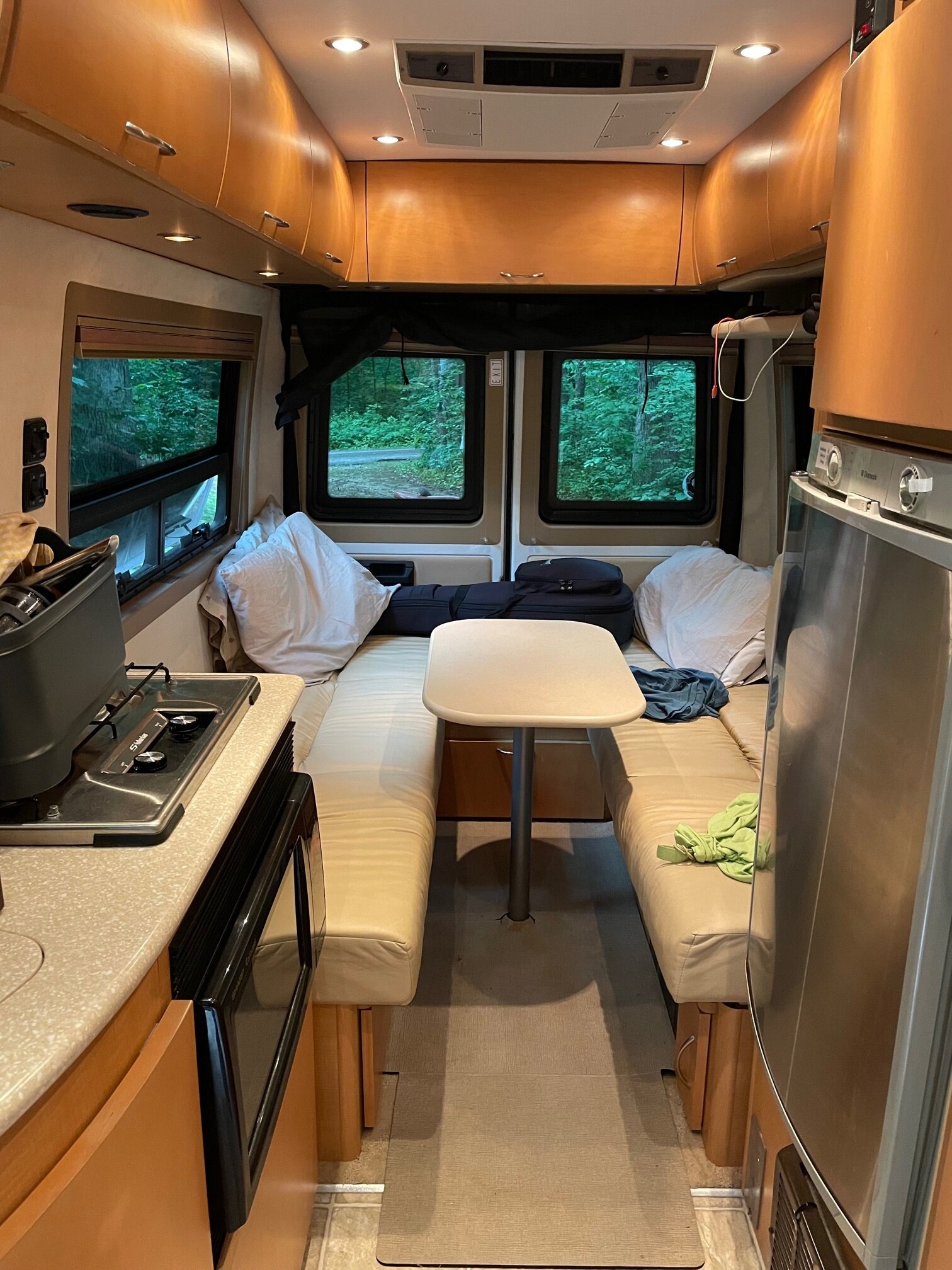
Interior looking from the drive's cabin to the rear

Wildflowers in Lake Kashonga State Park